Granite Belt
The lowest ground in the Granite Belt sits at 604 metres and it climbs to 1,298. That altitude is the only reason Queensland grows wine at this latitude at all.
Known for
- Shiraz
- Cabernet Sauvignon
- Chardonnay
- Verdelho
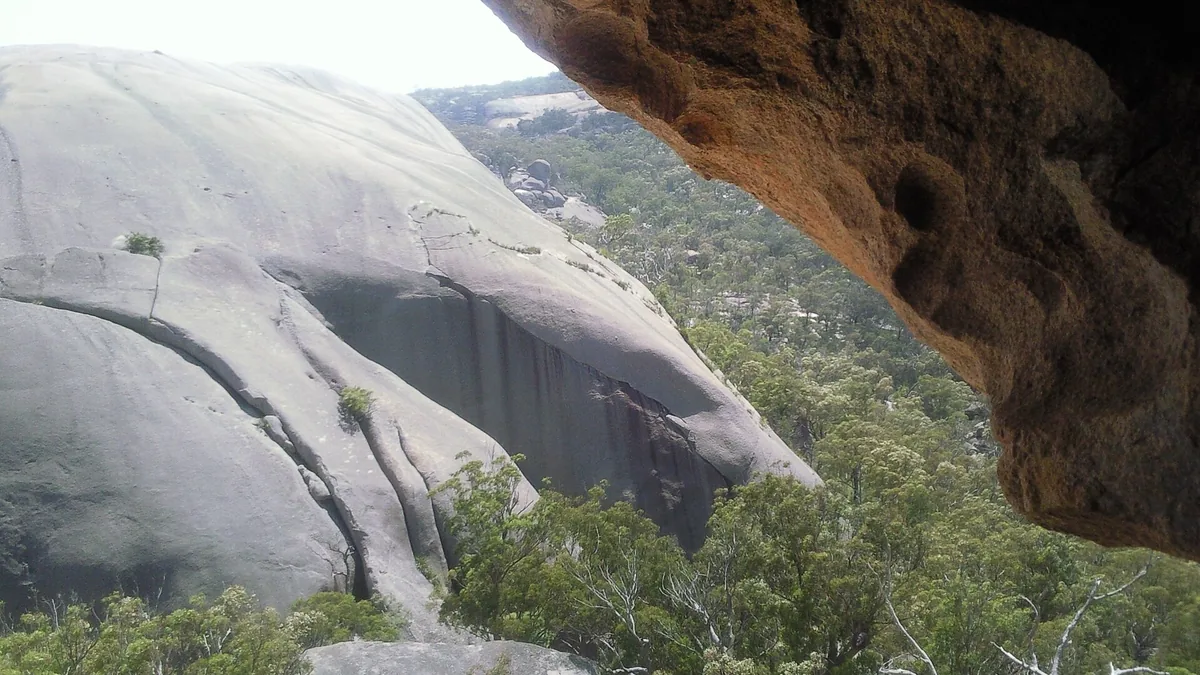
Why Granite Belt tastes the way it does
Decomposed granite soils at altitude, which is the only thing making wine possible at this latitude. Shiraz, Cabernet and Chardonnay are the mainstays, and the region has leaned hard into alternative varieties. Summer storms and the odd hailstorm are the main risks.
January averages 21.5°C here and the growing season adds up to 1,875 heat units, which is warm, and it shows in riper, fuller wine.
A short history
Italian families planted table grapes here from the 1870s and moved across to wine grapes through the twentieth century.
Granite Belt was registered as a protected wine name in 2002, which makes the boundary a legal definition rather than a marketing one.
What your house does to a bottle from Granite Belt
A bottle from Granite Belt ages at the rate its temperature sets, not at the rate the vintage chart says. Barello's model is the physical one: every 10°C above 13°C roughly doubles the rate, and at 25°C or more you are not ageing it, you are cooking it. Pick where you live and where the bottle actually sits.
Choose a city and a spot, and this line will tell you how much faster the bottle is ageing than it would in a cellar.
This is the same model that dates every bottle in Barello. Open the app to run it against your own wine. Or read how to store wine without a cellar, or the wine temperature chart.
Granite Belt in numbers
| Planted vineyard | 316 ha | number 44 of 64 in Australia |
|---|---|---|
| Region area | 1,158 km² | 0.27% of it under vine |
| Grapes crushed | 366 t a year | 1.2 tonnes a hectare |
| January average | 21.5°C | number 26 coolest of 64 |
| Heat units | 1,875 | warmth added up over the growing season |
| Land in the GI rises | 604 to 1,298 m | the boundary, not where the vines are |
| Registered | 2002 | as a protected name |
The nearest wine country
- Hunter414 km south, 2.2°C warmer
Nothing else on this map is close. Distances are between the registered centres of each region, as the crow flies.
Where these numbers come from
Boundaries and figures: Wine Australia Geographical Indications register, used under CC BY 4.0. Climate figures are the register's own long-run averages, measured in the vineyard. The history and the tasting notes above are Barello's own.